
Mantilly
| Le Teilleul (50) | Le Teilleul (50), Saint-Cyr-du-Bailleul (50) |
Saint-Mars-d'Égrenne |
| Le Teilleul (50), Heussé (50) |
 |
Passais |
| Désertines (53) | Désertines (53), L'Épinay-le-Comte |
L'Épinay-le-Comte |
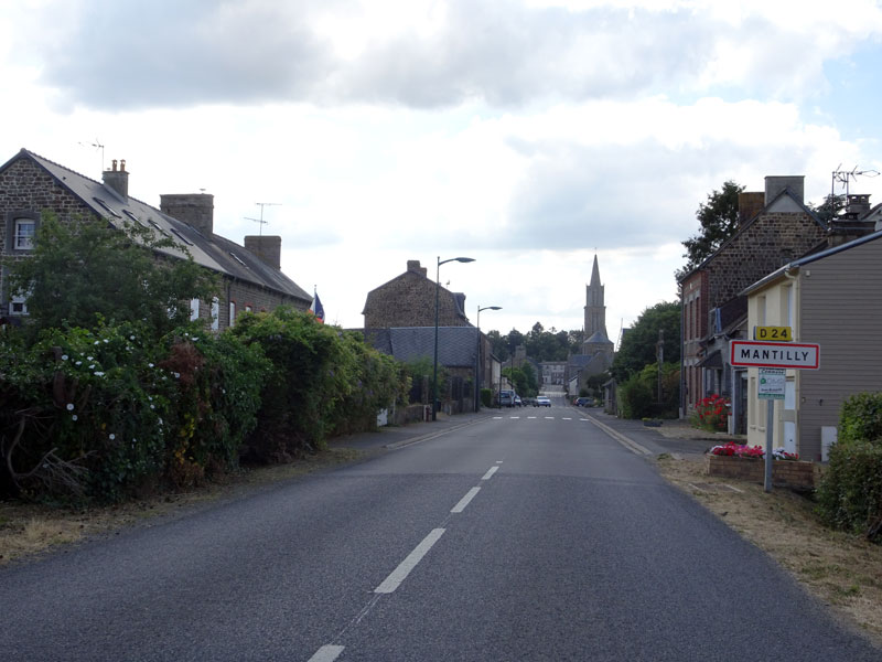
Arrivée par l'est. Sur D24 :
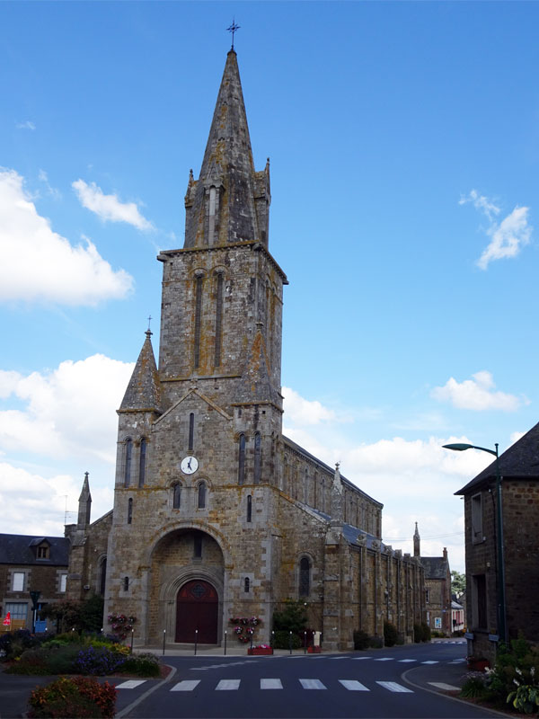
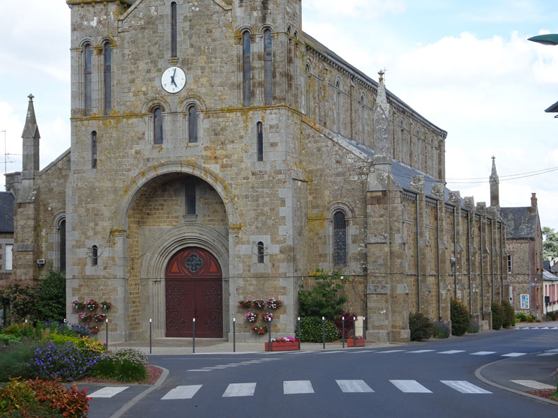
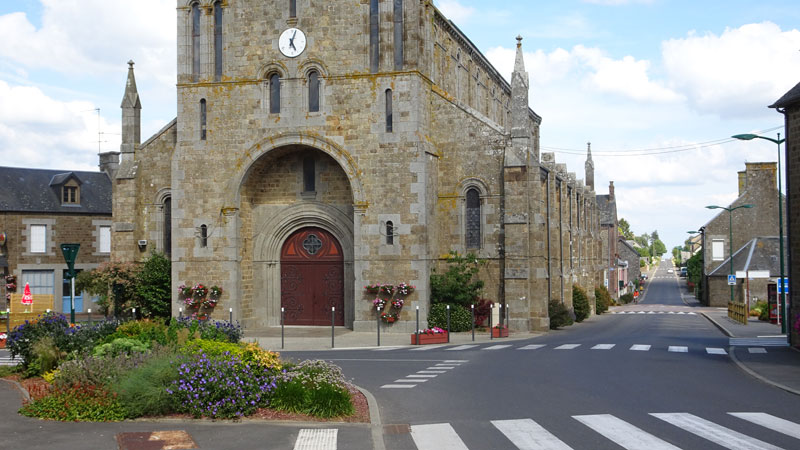
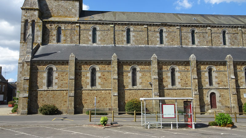
 Eglise Notre-Dame-de-l'Assomption
XIXe siècle.
Sur D24 : 48°31'14.3"N 0°48'06.1"W
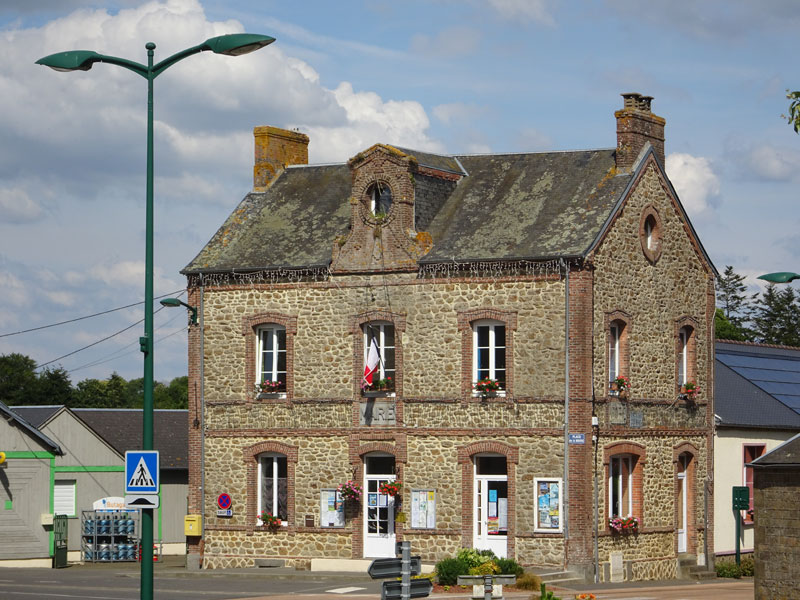
Mairie
Sur D24 : 48°31'13.8"N 0°48'03.4"W
Manoir de Mantilly
A l'ouest du bourg. Sur D24 : 48°31'12.2"N 0°48'18.9"W
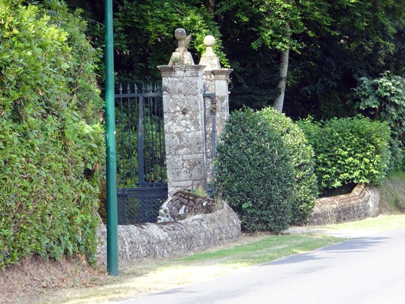

Sur Perche-gouet.net
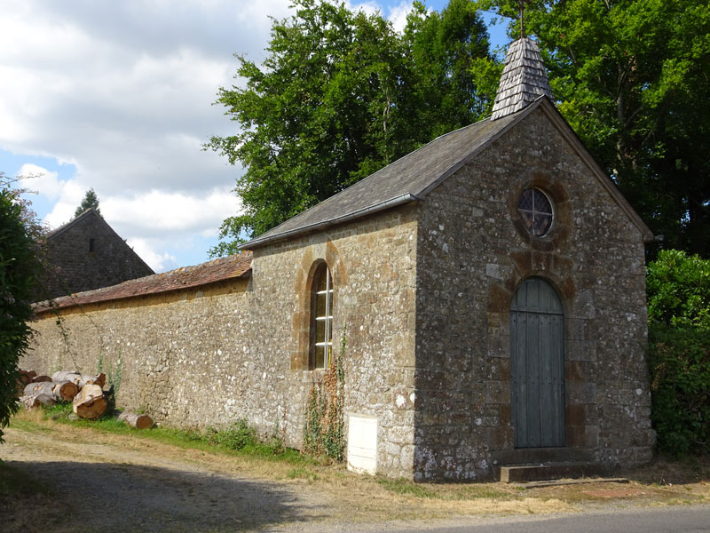
Chapelle du manoir
A l'ouest du bourg. Sur D24 : 48°31'10.3"N 0°48'19.1"W
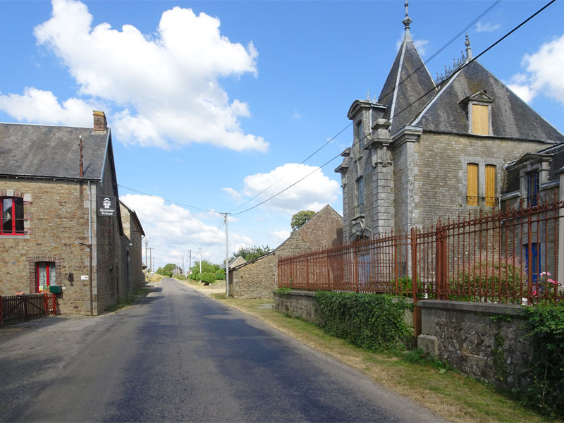
Château de la Morinière
Au sud de l'église : 48°31'05.7"N 0°48'01.7"W

Sur Perche-gouet.net
Chapelle Saint-Sébastien de Rubesnard
Une expo sur les chapelles du Passais et leur histoire (ouest-france.fr)
Au nord-ouest : 48°31'41.4"N 0°49'29.1"W
Ancien prieuré de Dompierre
Au sud-ouest. Sur D833 : 48°29'38.0"N 0°50'08.5"W (approx.)
Manoir de la Tournerie
Sur Perche-gouet.net
A l'ouest. Par D24 : 48°31'21.5"N 0°49'03.0"W

Les Landes
Au sud-ouest. Sur D833 : 48°30'10.0"N 0°49'03.1"W
Liens :


Mantilly sur Perche-gouet.net
